The Caldera Walkway
Mt.Mashu Hiking Trail
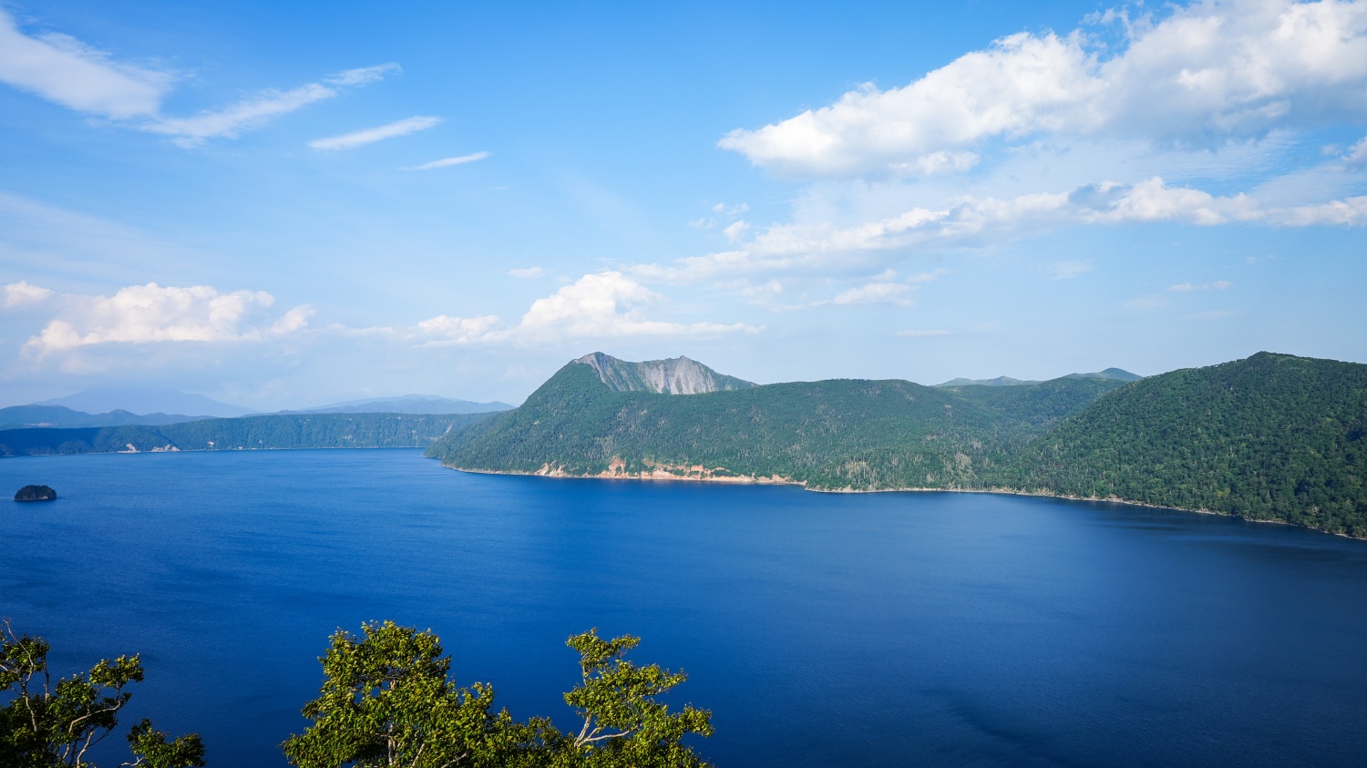
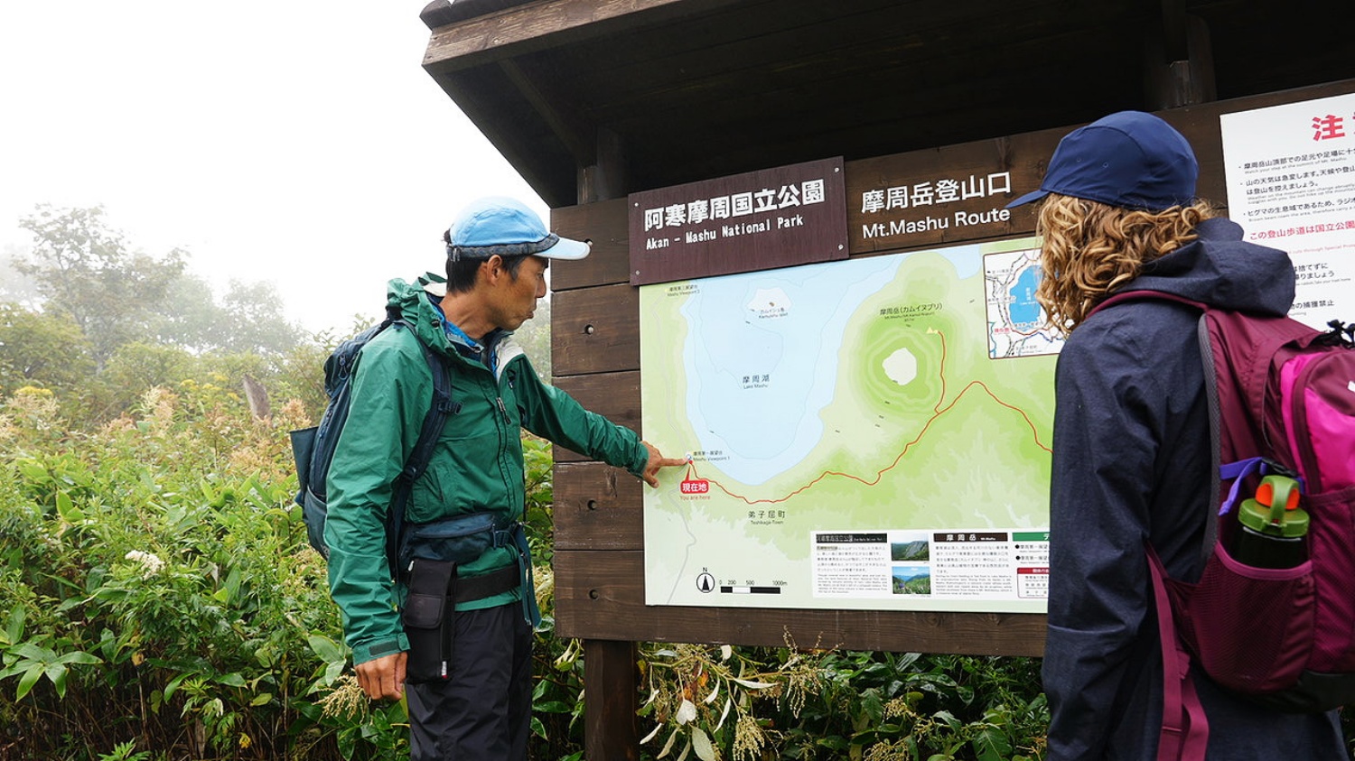
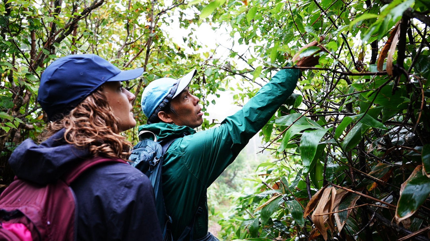
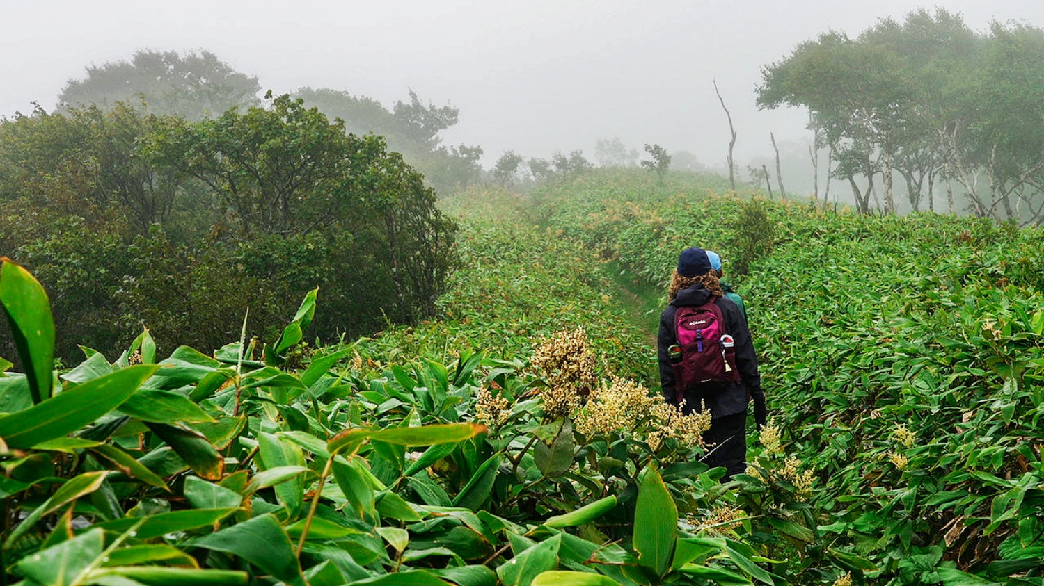
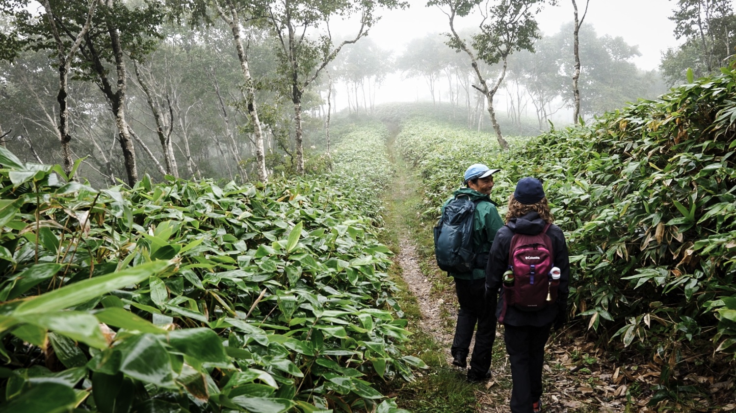
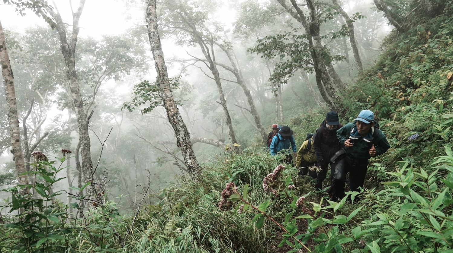
Entrance of the trail is from one of the famous sightseeing spot “Mashu Viewpoint 1”. You will start walking after writing your name in the climbing list. The trail is set along the ridge of the Mashu Caldera. The trail descends slowly at first 30min and ascend slowly after 30min. Walk watching above your head as trees covers the trail. After walking to a certain extent, you will see Konsen Field, Mt.Nishibetsu, Mt. Mashu and etc. It is also good to see a changing shape of Lake Mashu, moving the leke on the left hand side. After passing a junction towards Mt. Nishibetsu and Mt. Mashu, last 300m of the trail becomes steep. You will see Lake Mashu, exploded crater, Mt. Nishibetsu, Mt. Mokoto, Mt.Shari and etc at the peak of the Mt. Mashu.
Mt. Mashu is called “Kamui-nupiri” in Ainu, meaning Deity Mountain prayed by Ainu People. Kamui-nupuri is Stratovolcano forned by the eruption 1000 years ago. Size of the exploded crater is 1.5km*1.25km and volcanic activity is not active recently. Alpine plants can be seen at the peak of the moutain.
- Key Points
-
・The trail is set along the ridge of the Mashu Caldera.
・See beautiful view of entire Teshikaga Area from the peak of the Mt. Mashu.
・80% flat route
・View from the top
Activity Details
- Season
June-October
- Price
From JPY50,000 @1group
- Duration
8 hours
- Pax
Min. 2, Max. 7